Maitland Council seeks community feedback on updated Hunter River flood modelling
 Maitland City Council
(Maitland City Council)
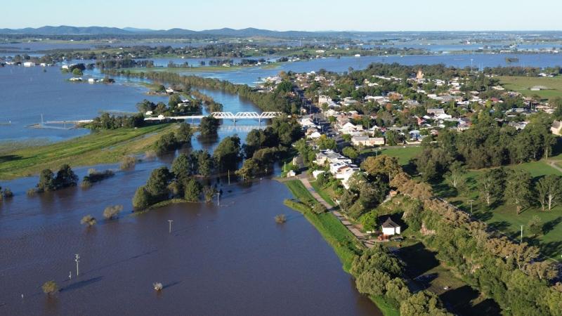
Newy 87.8 FM – Maitland City Council is asking the community for feedback on new flood modelling for the local government area, which forecasts changes to the extent and depth of future flood events.
Councillors voted unanimously at this week's October council meeting to undertake consultation on the impacts of the updated flood data.
"We're seeing changes to flood levels and flood behaviour from the Hunter River when compared with previous studies – and we want to take this opportunity to engage with and explain the latest modelling to our community," Acting Director City Planning Kristy Cousins said.
From Monday 26 October, draft flood modelling will be available on the Maitland Engage website at engage.maitland.nsw.gov.au, alongside details of opportunities for residents to share feedback and put questions to council.
A series of face-to-face drop-in sessions will give residents and homeowners the chance to speak with council officers and flood experts from WMAwater, the specialist engineers appointed to develop the updated modelling.
The data is a precursor to a more detailed flood risk management study and plan covering the Maitland local government area, expected in 2027.
Council last completed a flood risk management study and plan in 2015, using a 2010 flood study of the Hunter River from Branxton to Green Rocks.
Ms Cousins said flood risk changed over time, with changes to the Hunter River and surrounding landscape since 2015, as well as improvements to flood modelling methods and available data.
Join the discussion on Facebook.